
Energy Map
Overview
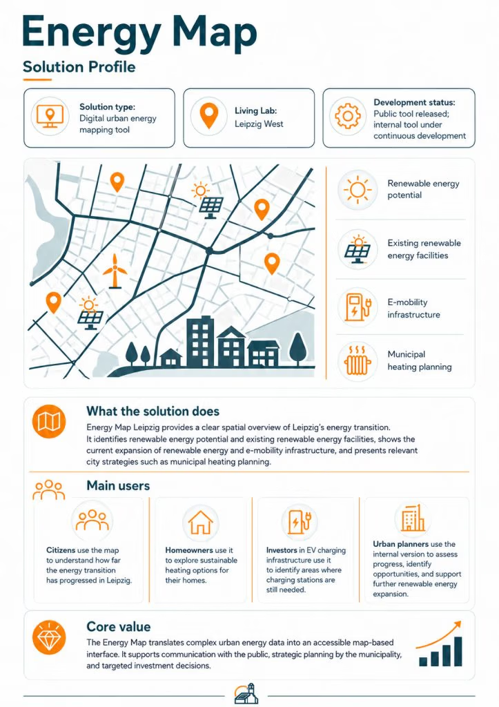
The Leipzig Energy Map is a GIS-based tool that maps energy-relevant data across the city of Leipzig, providing a strategic foundation for energy retrofit planning and district-level decision-making in monument-protected areas.
The tool integrates energy consumption data, building characteristics, monument protection status, and renewable energy potential into a unified spatial platform. This allows municipal departments, property owners, and planners to visualise the energy landscape of heritage-protected districts and make informed decisions about where and how to intervene.
The map is being developed through inter-departmental workshops within the City of Leipzig, ensuring it reflects the needs of multiple municipal stakeholders from monument protection to urban planning to climate protection.
The Challenge It Addresses
- Technical: Lack of centralised, spatially referenced energy data for heritage-protected building stocks makes strategic planning difficult.
- Regulatory: The map overlays monument protection boundaries with energy data, helping planners understand which interventions are feasible where.
- Stakeholder: Provides a common visual language for cross-departmental collaboration, bridging the gap between heritage, energy, and urban planning perspectives.
Key features: The tool is developed as a GIS application integrating multiple data layers:
- Building energy consumption data
- Monument protection area and building boundaries
- Building characteristics (age, type, use)
- Renewable energy potential (where available)
- Existing energy infrastructure (heating networks, PV installations)
How It Works: The tool is developed as a GIS application integrating multiple data layers:
- Building energy consumption data
- Monument protection area and building boundaries
- Building characteristics (age, type, use)
- Renewable energy potential (where available)
- Existing energy infrastructure (heating networks, PV installations)
Data is collected and validated through inter-departmental workshops, with SAENA (Saxon Energy Agency) contributing data and regulatory knowledge. The tool supports both internal municipal planning and external communication with property owners and the public.
Where It’s Developed: Living Lab Leipzig West; developed by the City of Leipzig in collaboration with SAENA and Cenero.one, with inter-departmental input from multiple city offices.